

Map & Navigation System
On Sale
£10.00
£10.00
Dynamic Map & Navigation Systems
A comprehensive land navigation and tactical mapping system designed for realistic field navigation, training, and command-level planning.
Built to support proper map reading, movement, and coordination, the system combines practical navigation tools with a flexible digital map interface for both individual operators and team leaders.
Key features include:
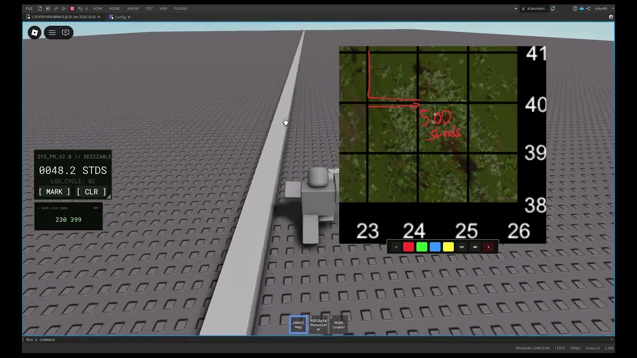
- MGRS locator allowing users to initialise their position and generate accurate six-digit grid references
- Digital pace counter that automatically tracks distance covered during land navigation
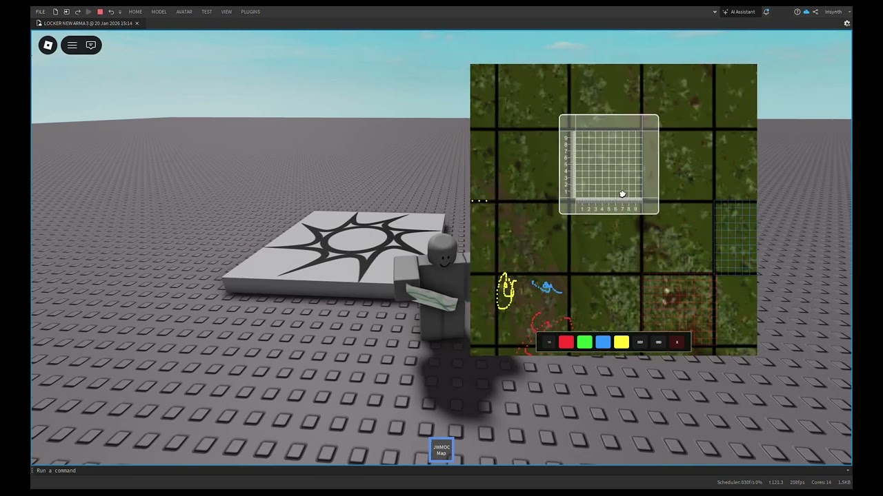
- Smooth zoom controls for detailed map work at any scale
- Integrated protractor for precise grid and bearing measurements
- Custom map support, enabling any image to be used as a working map
- Drawing tools with multiple colours for marking routes, objectives, and boundaries
- Dividable map markers for clearly plotting points, routes, and phases
- Adjustable grid generator, with grid size and marker quantity configurable in real time
Designed for realism and flexibility, the system supports everything from individual navigation drills to coordinated tactical planning and command gameplay.
This product requires a whitelist to operate
In collaboration with Irisynth


